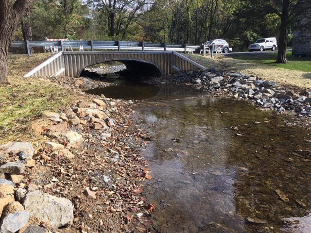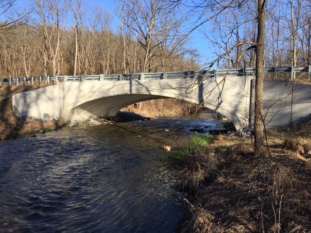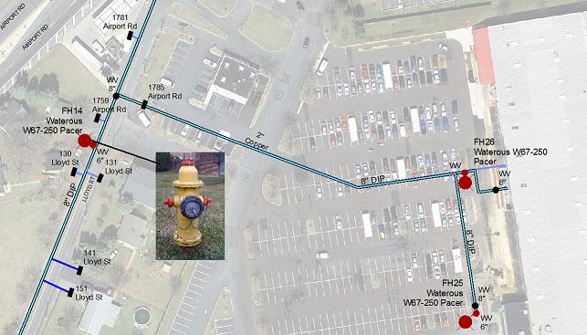
KCE has been managing a multi-year project to map utilities and appurtenances throughout the Township and create a GIS-based infrastructure management system. KCE’s work will improve emergency response, maintenance scheduling and budgeting, and greatly reduce the time typically required to retrieve utility data. Recently the system was moved to ESRI’s ArcGIS Online platform for ease of use. Township staff uses the GIS information and data on a daily basis as part of their daily work. The data is all available at all times on their phones, tablets, computers, etc. which has proven to be essential in the fast paced world we find ourselves living in.
As a part of this project, KCE has utilized it’s surveying experience to field locate all above ground utility appurtenances (manholes, inlet grates, water valves, etc.).