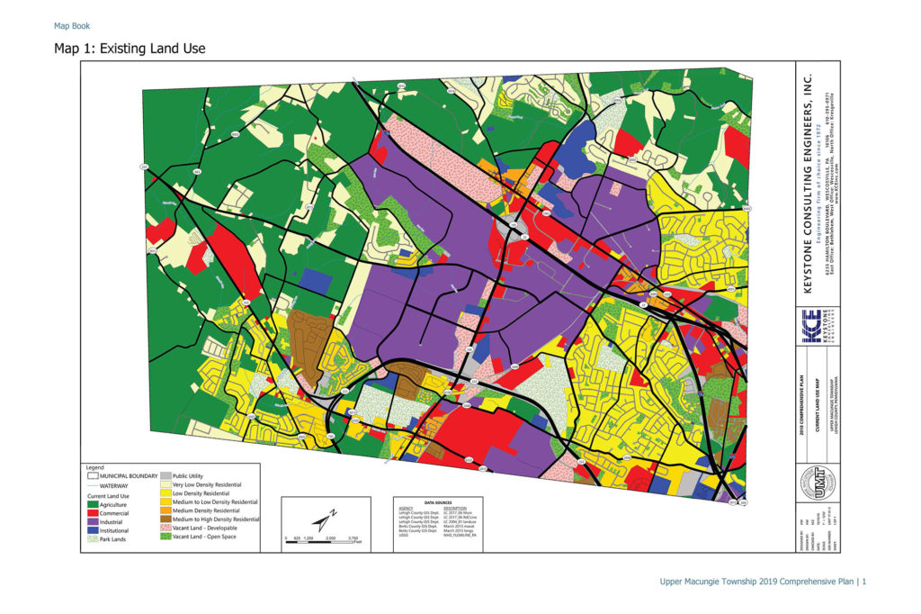
Keystone Consulting Engineers provided all the mapping and boundaries on the mapping within the comprehensive plan maps. The maps are used by the Township staff, residents, potential developers, etc. to determine zoning boundaries, land use designations, potential karst areas, parks within the municipality, etc.
Geographic Information System (GIS)
Through Keystone Consulting Engineer’s (KCE) application of cutting edge Geographic Information System (GIS) technology, our clients gain access to an exceptional project planning, design, and management tool. Hardware, software, and data are combined to provide a complete picture of geographically-referenced information, allowing for its capture, management, analysis and display in many applications. Data can be viewed, interpreted, and visualized in a variety of forms that effectively expose relationships, patterns, and trends in the form of maps and tabular data.
PRACTICE AREAS
- MS4 Infrastructure Inventory and Mapping
- MS4 Inspection and Reporting
- Zoning Maps
- Planning Maps
- Utility locating and Inventorying
- Transportation Planning
- Agricultural Preservation
- Street Map Preparation
- Project Site Design
- File Management
FEATURED PROJECTS
Keystone Consulting Engineers built a Story Map on ESRI's GIS platform for Upper Macungie Township, Lehigh County, Pennsylvania. This story map is an interactive map that assists UMT with it's MS4 objectives.
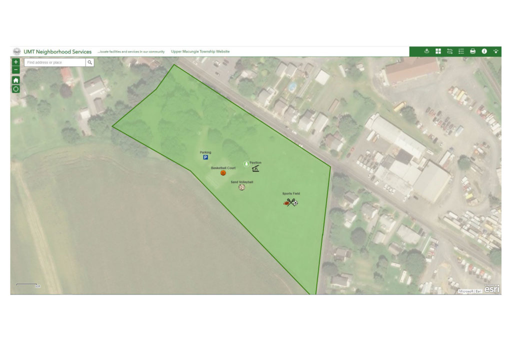
Keystone Consulting Engineers, Inc. (KCE) created the Upper Macungie Township Neighborhood Services Map, which is an interactive web application designed to show residents where park locations and amenities.