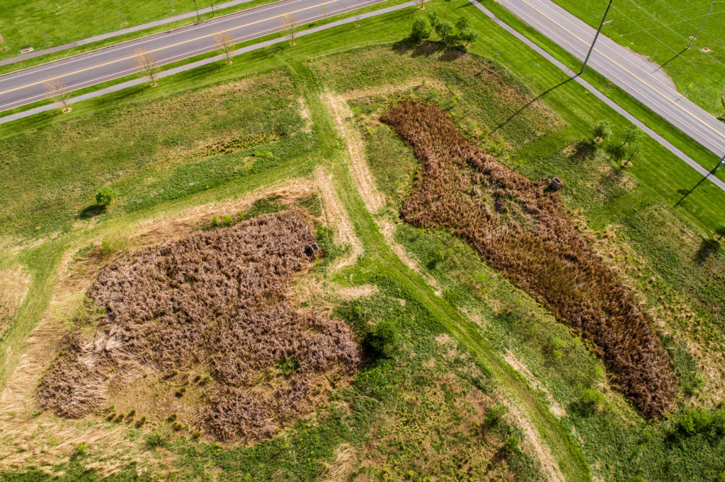
Penns Meadow Basin Conversion
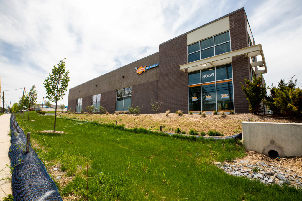
Keystone Consulting Engineers, Inc. (KCE) developed grading, erosion and sediment control and post construction stormwater management plans for this first-in-the-Lehigh Valley pilot project to convert an existing conventional detention basin into a naturalized detention basin on an approximately eight (8) acre site.