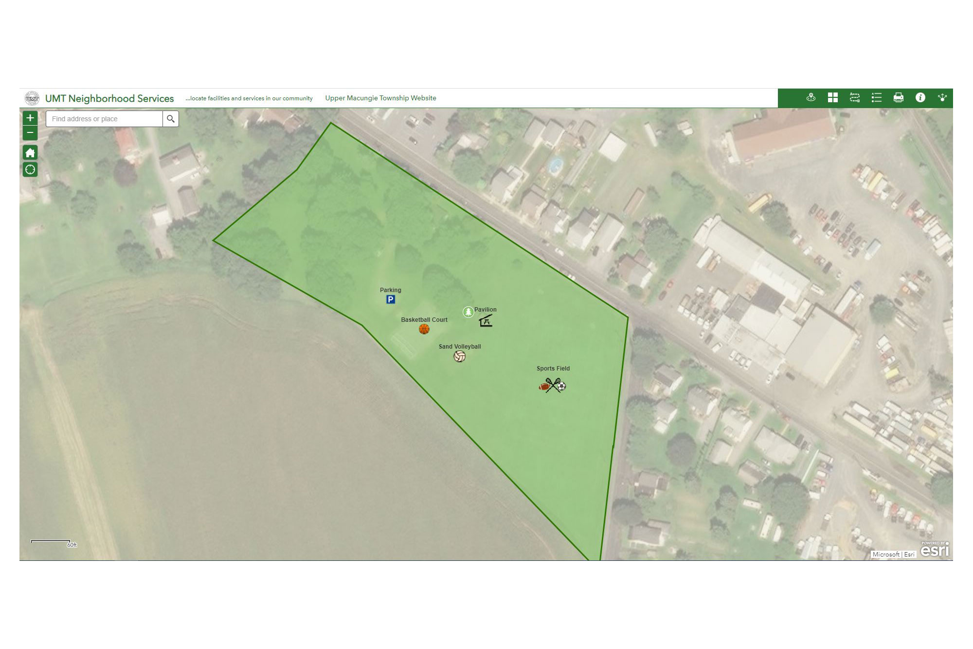
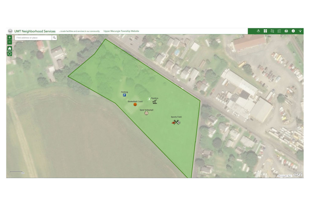
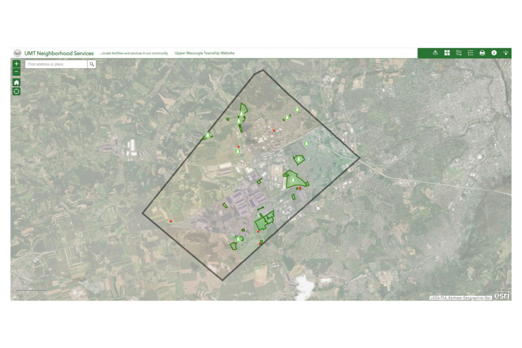
Keystone Consulting Engineers, Inc. (KCE) created the Upper Macungie Township Neighborhood Services Map, which is an interactive web application designed to show residents where park locations and amenities.
This application is embedded in the UMT website for parks and recreation. Residents can select their house or a certain location and find park features and amenities within a specified distance shown as a circle on the map. Users can also expand the search radius to find additional amenities around them.
Residents can also search for specific amenities. Example: a resident wants to play horseshoes. The application will show all parks with that amenity and they can click the directions button to get turn by turn directions to there. The pop up for each park has links to pavilion rentals, as well as images and links to other information. Each park has a list of amenities and features specific to each park in a neat table that pops up to show features such as restrooms available, sports available, etc.
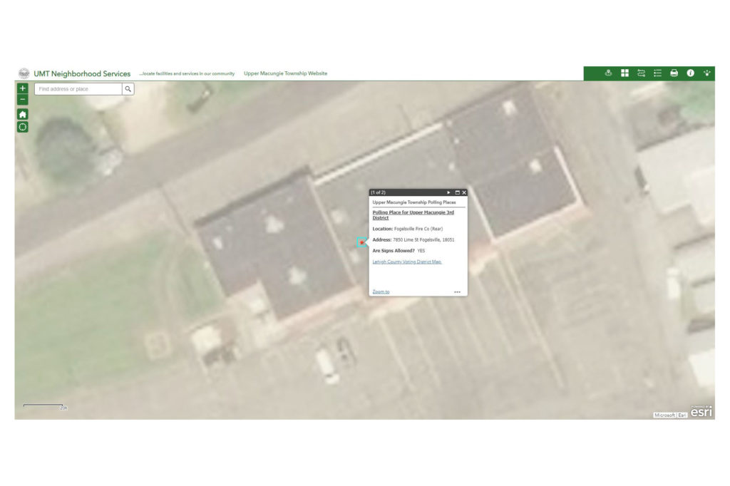
This application is customizable to include other features, such as, but not limited to: voting districts, health care centers, evacuation/care shelters, landmarks, government facilities, etc. It is also very helpful to new residents, as UMT has also linked the map to their New Residents webpage to help show where voting districts and township facilities are located such as recycling center and parks and rec activities like wine festivals, electronic recycling events, and holiday events.

