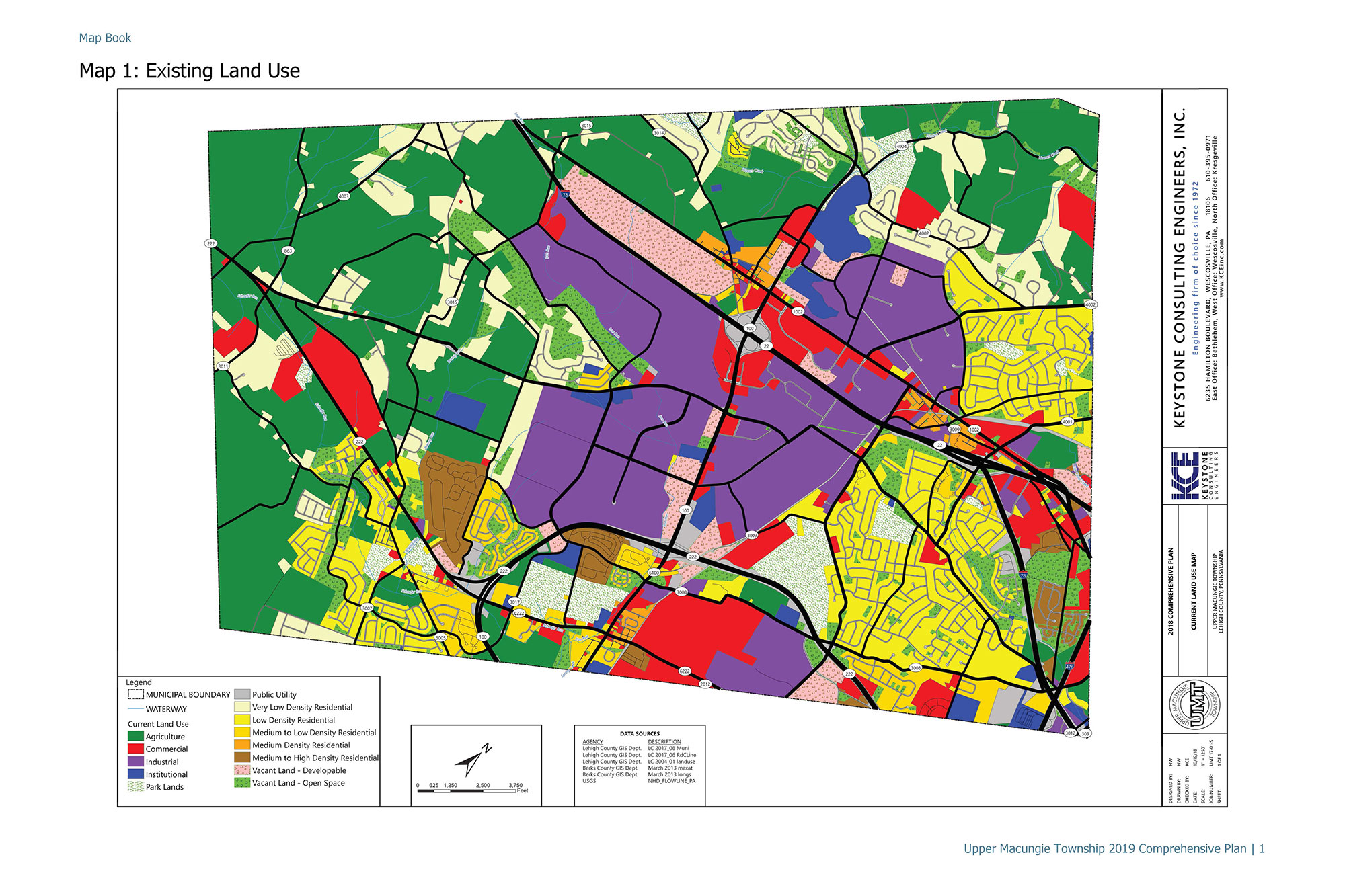
Keystone Consulting Engineers provided all the mapping and boundaries on the mapping within the comprehensive plan maps. The maps are used by the Township staff, residents, potential developers, etc. to
Keystone Consulting Engineers built a Story Map on ESRI's GIS platform for Upper Macungie Township, Lehigh County, Pennsylvania. This story map is an interactive map that assists UMT with it's
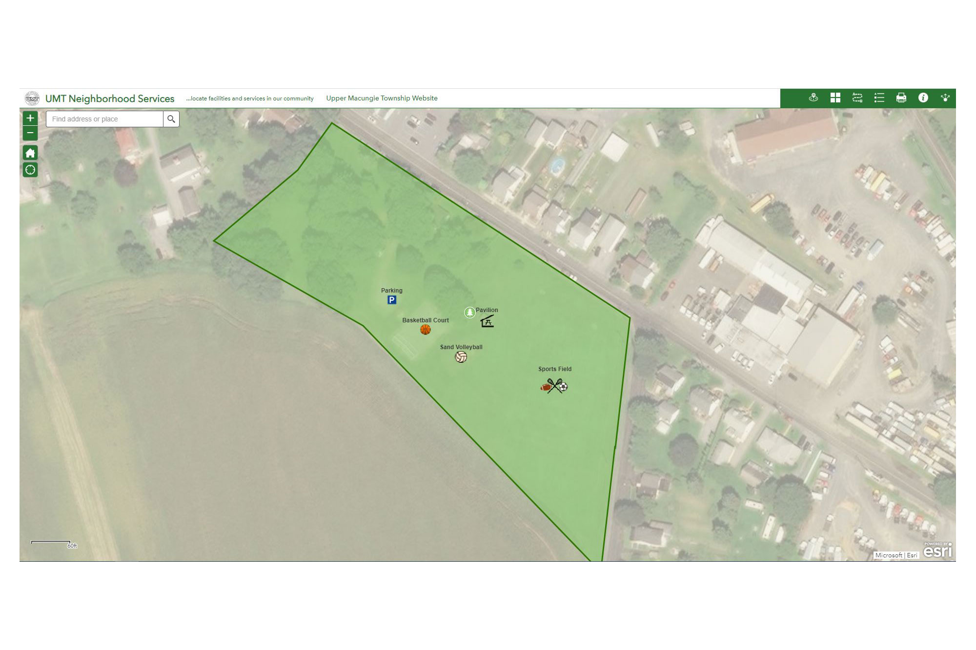
Keystone Consulting Engineers, Inc. (KCE) created the Upper Macungie Township Neighborhood Services Map, which is an interactive web application designed to show residents where park locations and amenities.
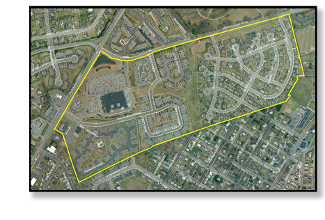
KCE performed an in-depth GIS (Geographic Information System) analysis and design for this large subdivision and land development project, which involved extensive construction stakeout and other surveying services over several
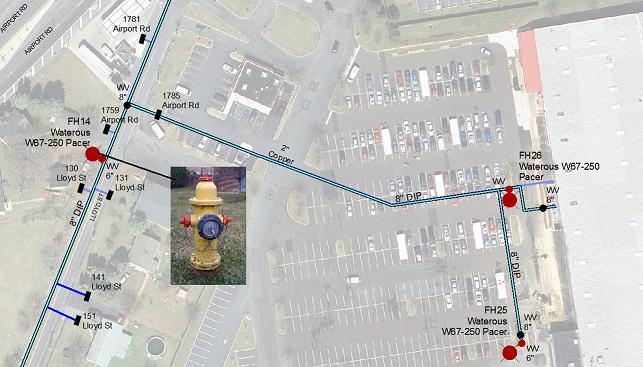
KCE has been managing a multi-year project to map utilities and appurtenances throughout the Township and create a GIS-based infrastructure management system. KCE’s work will improve emergency response, maintenance scheduling