Skip to content

Projects

Hanover Corporate Center II

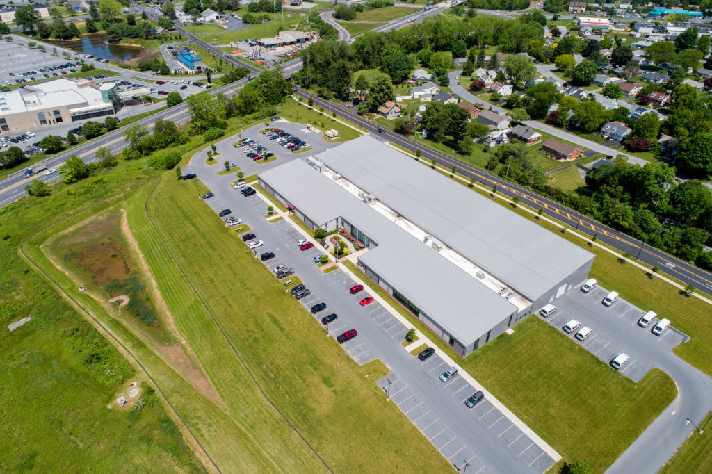
Hanover Corporate Center II – Lot 10

KCE provided engineering for the Hanover Corporate Center II - Lot 10 providing approximately 500,000 s.f. of flex warehouse space for Griffin Land.
Learn More
breinigsville pedestrian bridge

Breinigsville Park Pedestrian Bridge

Keystone Consulting Engineers, Inc. (KCE) prepared the plans and permits to build this pedestrian bridge at Breinigsville Park, over the Schaefer Run. Project funding was in part by the Pennsylvania Department of Conservation and Natural Resources (DCNR), the Natural Resources Bureau of Recreation and Conservation and the Keystone Recreation, Park and Conservation Fund.
Learn More
Upper Macungie Township Web Application

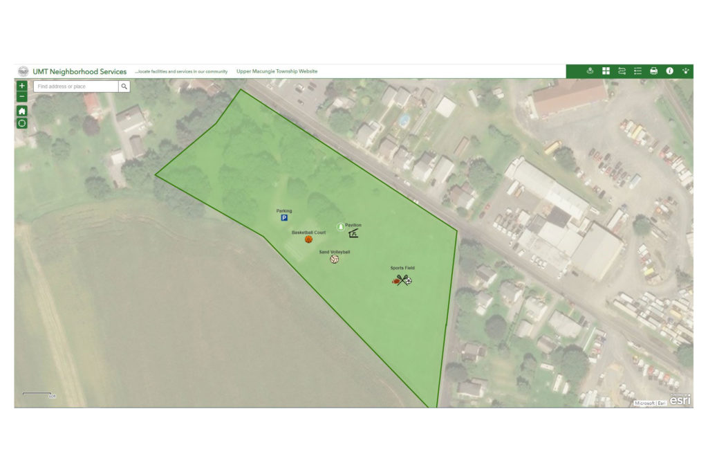
Upper Macungie Township Neighborhood Services Map

Keystone Consulting Engineers, Inc. (KCE) created the Upper Macungie Township Neighborhood Services Map, which is an interactive web application designed to show residents where park locations and amenities.
Learn More
Slate Heritage Master Plan

Slate Heritage Trail Master Plan

Keystone Consulting Engineers, Inc. (KCE) prepared the master plan for 3.5 miles of the Slate Heritage Trail as part of a project partially funded by DCNR. Work included all aspects of planning and design of the trail and accessory facilities. The project included overseeing the design and construction...
Learn More

Pinpoint Federal Credit Union

Soil and groundwater were impacted by volatile organic compounds (VOCs) including chlorinated solvents and petroleum compounds, semi-volatile organic compounds (SVOCs), and heavy metals. The property was a steel mill from
Learn More
Blue Mountain Ski Area

Blue Mountain Ski Area

The Blue Mountain Ski Area Wastewater Treatment Plant treats the sanitary wastewater from the ski area located on the north slope of the Blue Mountain in Lower Towamensing Township, Carbon County near the Village of Little Gap.
Learn More

Former Sandy Bottom Gulf Facility

Soil and groundwater were impacted by petroleum contaminants due to a subsurface release from a gasoline underground storage tank (UST) system in 1988. Light non-aqueous phase liquid (LNAPL) was present
Learn More
Geographic Information System (GIS)

Comprehensive Plan Map

Keystone Consulting Engineers provided all the mapping and boundaries on the mapping within the comprehensive plan maps. The maps are used by the Township staff, residents, potential developers, etc. to determine zoning boundaries, land use designations, potential karst areas, parks within the municipality, etc.
Learn More

Contact Us

    Your Name (required)

    Your Email (required)

    Subject (required)

    Your Message