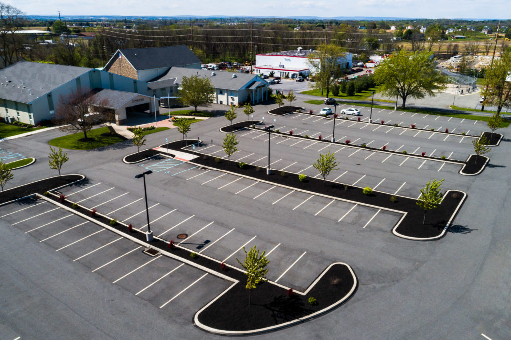
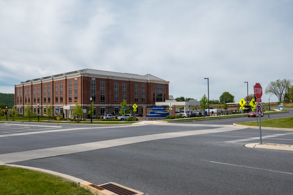
Skip to content

Projects

Grange Road Park (Planning, Design and Construction)

KCE has provided park planning, design and construction management for many parks and recreation facilities, including trail systems and both passive and active recreation parks. One such park under development is the Grange Road Park in Upper Macungie Township (Lehigh County, PA).
Learn More

Former Sandy Bottom Gulf Facility

Soil and groundwater were impacted by petroleum contaminants due to a subsurface release from a gasoline underground storage tank (UST) system in 1988. Light non-aqueous phase liquid (LNAPL) was present
Learn More

Creamery Road Park

KCE performed the surveying and engineering services for the design of the pavilion, parking lot, ball fields, and pedestrian pathways for this park.
Learn More

Springdale Estates Wastewater Treatment Plant

Springdale Estates is a planned residential community in Mahoning Township, Carbon County. The existing wastewater treatment plant is over 25 years old. The treatment capacity of 12,600 gallons per day is inadequate for the proposed development and the existing wet weather infiltration and inflow in the sewage collection system.
Learn More

Bear Road Bridge Replacement

KCE was proud to assist our municipal client Lowhill Township, Lehigh County in completing a bridge project. Our team performed surveying, construction stake-out, permitting, developed plans and specification and contract
Learn More
Hanover Corporate Center II

Hanover Corporate Center II – Lot 10

KCE provided engineering for the Hanover Corporate Center II - Lot 10 providing approximately 500,000 s.f. of flex warehouse space for Griffin Land.
Learn More

Stroudsburg Borough Storm Drainage

KCE completed the design, permitting and construction of a large storm drainage improvement project throughout the South Stroudsburg area. The project also included the installation of curb, sidewalk, handicap ramps, and pavement improvements.
Learn More
Geographic Information System (GIS)

Comprehensive Plan Map

Keystone Consulting Engineers provided all the mapping and boundaries on the mapping within the comprehensive plan maps. The maps are used by the Township staff, residents, potential developers, etc. to determine zoning boundaries, land use designations, potential karst areas, parks within the municipality, etc.
Learn More

Contact Us

    Your Name (required)

    Your Email (required)

    Subject (required)

    Your Message